Videography · Aerial & Drone
Aerial and drone videography from the angle nobody else has.
- Resolution4K video, high-res stills
- Turnaround7–15 business days
- PlanningAirspace and permissions checked
- Best forReal estate, construction, industry
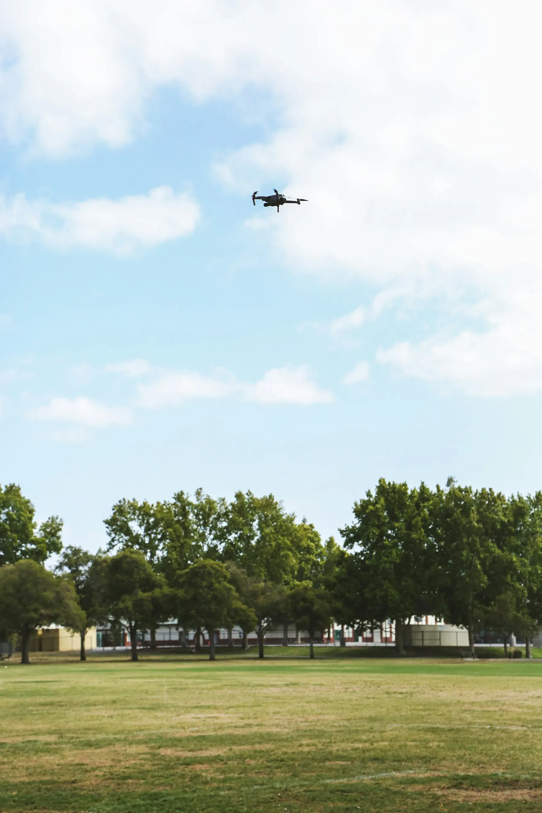
Some stories are too big to be told from the ground. A residential township, a factory campus, a construction site, a wedding venue or a road project only makes sense when you can see how the pieces fit together. Aerial videography gives context, scale and drama, and it does so more economically than helicopters or cranes ever could. Our drone videography service in Pune is built for businesses that need those views to be both beautiful and dependable.
What drone footage adds
Aerial footage answers questions that ground-level images cannot. How close is the project to the highway? How large is the plant compared to its neighbours? How much of the plot is landscaped? Where do the amenities sit? These are exactly the points that investors, buyers, clients and procurement teams care about.
It also adds production value. A slow rise over a building, a sweeping reveal across a campus or a tracking shot along a production line feels cinematic in a way ground footage cannot match. Used sparingly and with purpose, aerial shots lift an entire film.
Where aerial video works best
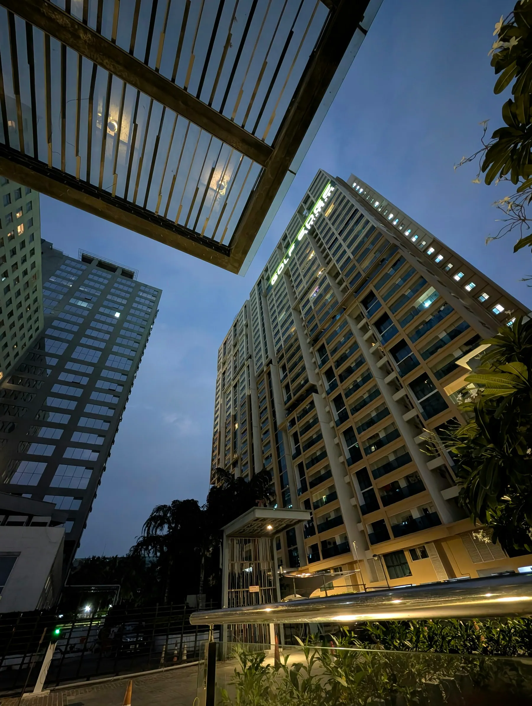
- Real estate and township marketing: site-in-context, amenity layouts, approach roads and twilight views of towers.
- Construction progress documentation: regular flights from the same positions that show the project advancing month by month.
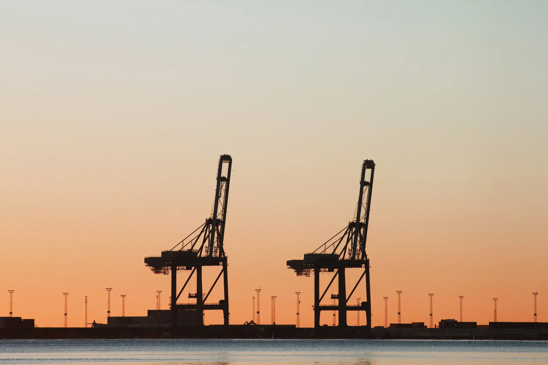
- Industrial and logistics sites: plant footprints, storage yards, solar installations, ports and transport hubs.
- Events and venues: crowd scale, stage layout and the setting for weddings, festivals, sports and corporate gatherings.
- Tourism, hospitality and resorts that sell location as much as service.
- Surveying and inspection support for land, roofs and hard-to-reach structures, where a visual record is useful.
Flying legally and safely
Drone operations in India are governed by the Drone Rules and the airspace map published on the government’s Digital Sky platform. Large parts of Pune sit in controlled airspace around the airport and defence establishments, and many sites need permissions before flight. We check airspace zones in advance, advise you on what is required, and plan flights accordingly. If a location cannot be flown legally, we say so early and suggest alternatives such as ground-based stabilised shots.
Safety on the day is simple but non-negotiable. We survey the site, check weather and wind, keep a safe distance from people and property, and fly with a spotter where needed. Every flight has a plan, and we do not take risks for a shot.
Cinematic technique
Smooth, intentional movement is what separates professional aerial footage from hobby clips. We plan each shot, whether orbit, reveal, tracking, top-down or fly-through, and fly it with precise gimbal control. We shoot in high-bitrate 4K with a flat colour profile that gives room for grading, and use ND filters to maintain a natural, cinematic motion blur.
Timing matters. Golden hour light makes buildings and landscapes glow, and twilight adds dramatic contrast to lit structures. We scout and schedule around the sun, and keep alternative windows for weather.
Stills, mapping and combined production
Aerial still photographs are often more useful than video for brochures, hoardings and listings. We capture high-resolution stills during the same flight, with panoramic stitches available for large sites. For projects that also need ground-level footage, we combine aerial work with a full industrial video production or a promotional video, and for property marketing we pair it with interior photography, which saves time and keeps the look consistent.
Editing and delivery
Footage is cut, colour graded and delivered in the formats you need: a full-length film, shorter edits for social media, vertical cut-downs and raw clips for your own editor. We can add titles, map overlays, location markers and music. Progress monitoring projects receive consistently framed clips for each visit, with dates and versioned filenames.
Planning an aerial shoot
Share the location, the purpose of the footage and the date constraints. We will review airspace, estimate flying time and propose a shot list. For large or sensitive sites, the earlier you tell us, the easier it is to arrange permissions. Weather can postpone a flight, so build a buffer into your schedule.
Choosing height, angle and time of day
The same site can look very different at thirty, sixty and a hundred metres. Low flights add speed and a sense of presence, while higher ones show context and layout. Camera angle matters too: a slight downward tilt flatters buildings, while a top-down view reads as a map. We test altitudes on site, agree a few key frames with you and choose the hour of day that suits the subject, usually the softer light after sunrise or before sunset.
Visual references
View all work
Questions
Frequently asked questions
Do you need permission to fly a drone in Pune?
Often, yes. Many areas fall within controlled airspace or restricted zones. We check the airspace map, advise on permissions and plan flights accordingly.
What is the quality of the footage?
We shoot in 4K with a profile that allows careful colour grading, and capture high-resolution stills when required.
Can you fly indoors or in tight spaces?
For some projects, yes, with smaller drones suited to indoor environments. We will assess the site and the safety implications before agreeing.
How long does an aerial shoot take?
A typical flight session takes a few hours including setup, with more time for complex or multi-location projects.
Can you schedule recurring construction progress flights?
Yes. We can set up a monthly or fortnightly schedule with repeated flight paths, so progress is easy to compare over time.